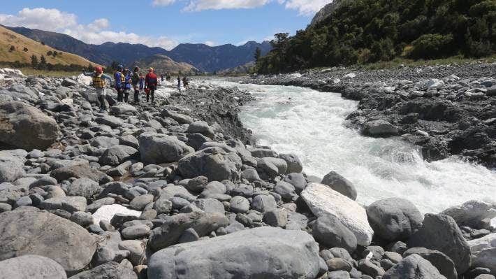
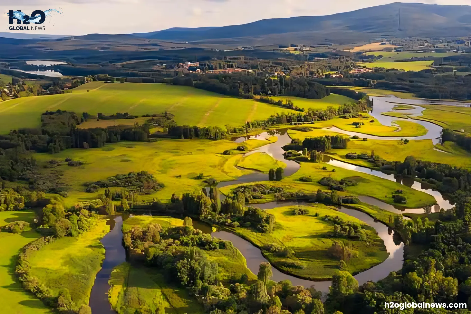
Earthquakes are one of the most powerful natural forces, capable of transforming entire landscapes in seconds. When the ground shakes, it doesn’t just crack roads and topple buildings, it can also change the flow of rivers and create new waterbodies. Imagine a river that has flowed peacefully for centuries, suddenly altering course, flooding nearby communities, or carving out an entirely new path.
From blocking rivers with landslides to forcing water into new channels, earthquakes can drastically reshape river systems. These changes not only affect local ecosystems but also pose risks to human settlements. This article explores how seismic activity impacts river courses, causes dramatic shifts in landscapes, and what we can do to monitor and mitigate these effects.
What can Earthquakes do to change the landscape?
Earthquakes can dramatically alter landscapes by:
1. River Course Alteration
One of the most noticeable consequences of earthquakes is the modification of river channels. Ground uplift can clog rivers, forcing them to create new channels. For example:
The Indus River in Pakistan saw a dramatic change in flow following a large earthquake in 2005 triggered by landslides that blocked its route.
The Mississippi River temporarily flowed backwards in 1812 due to severe ground displacement induced by the New Madrid Earthquakes.
2. Formation of New Waterbodies
Landslides caused by earthquakes can block rivers, generating new lakes or reservoirs. These natural dams frequently affect area ecosystems and water supply.
3. Erosion and sedimentation
Seismic activity causes erosion in places near rivers, which leads to increased sedimentation downstream. This can alter river depth, width, and flow velocity, affecting aquatic ecosystems and human settlements.
4. Creating Fault-Controlled Channels
Earthquakes can generate fault-controlled channels in which rivers align with newly formed fault lines. These channels frequently exhibit unusual flow patterns and sediment transport dynamics.
How Rivers Change Course
When an earthquake disrupts a river’s path, the water will seek out the path of least resistance to continue flowing. This often means the river adopts a new course, abandoning its old channel. There are a few ways this can happen:
- Blockages: If rockfalls or landslides block a river channel, the water will back up and spill over the banks, carving a new path. The original channel may empty as the new one takes over.
- Uplift or subsidence: If an earthquake causes parts of the land to uplift or subside, it alters the slope of the river bed. The steeper slope will speed up the flow, while a flattened slope slows it down. In either case, the river will erode a new channel to suit the changed terrain.
- Fractures: Ground shaking can fracture the rock beneath or adjacent to a river, opening up cracks and fissures. The river water will seep into these new openings, eventually capturing the entire flow and abandoning the old channel.
The effects of a river changing course can be catastrophic, damaging property, agriculture, and infrastructure. Careful monitoring of rivers in seismically active areas helps identify potential threats, while restoration projects can help mitigate damage from shifts that have already occurred. With waterways and earthquakes, the only certainty is change. By studying their interactions, we gain a clearer view of future changes.
Examples of River Course Changes From Earthquakes
The 7.9 magnitude earthquake triggered major landslides that blocked many rivers. Over 30 “quake lakes” formed, affecting local water supplies and posing a flood risk for downstream cities.
This earthquake caused landslides that obstructed the Kali Gandaki River, resulting in a big temporary lake. Efforts to reduce the risk of floods downstream included regulated water drainage.
A similar tragedy unfolded in 1833 when an earthquake shook the region near Kumaon, India. The Kosi River, also known as the “Sorrow of Bihar,” switched from flowing southeast to a course flowing south. The river flooded surrounding lands, displacing over 100,000 people. The Kosi River is prone to frequent course changes during the monsoon water, but major earthquakes exacerbate these effects.
In 1923, a powerful quake struck the Kanto Plain in Japan, causing the Tone River to shift course. The river originally flowed into Tokyo Bay but changed to a route into the Pacific Ocean, flooding the city of Oyama. Just 15 years later, the same area was hit by another quake that again altered the Tone River’s path.
Predicting Earthquake and Preparing for River Disruptions
Monitoring Seismic Activity
Detecting earthquakes quickly is essential for anticipating potential river impacts. Seismologists utilize seismic monitoring networks with motion-sensing devices that can identify earthquakes’ location, depth, magnitude, and aftershock distribution. Analysis of historical seismic data in a region reveals active fault zones and estimates the frequency of significant earthquakes. Identifying areas prone to high-magnitude earthquakes allows for targeted monitoring.
Analysing River Data
Hydrologists analyze river characteristics such as channel shape, slope, sediment load, and flow rates. They deploy stream gauges, sensors, and satellite data to monitor river levels and discharges over time. Changes in a river’s behavior, such as increasing turbidity and fluctuations in water level or flow rates, could signify a disruption to the river channel or sediment load, warranting further investigation. Hydrologists compare current data to historical ranges to detect anomalies.
Issuing Warnings
By combining seismic and hydrological data, scientists can predict the likelihood and severity of potential river impacts from earthquakes. Areas with active faults upstream of populated river valleys are the highest priority. Warnings issued before an earthquake strike allow for emergency preparations like evacuations, sandbagging, and reinforcing infrastructure. After a major earthquake, ongoing monitoring detects changes in river behavior and issues alerts if flood risks emerge.
Planning and community education on earthquake and flood hazards are also crucial. Public awareness of risks and appropriate emergency responses during and after an event can help minimize loss of life and property damage. With diligent monitoring and analysis, researchers are working to provide critical warnings about impending river disruptions that communities depend on.
What can Be Done to Mitigate River Changes After Earthquakes?
Proactive actions are required to address the issues caused by earthquake-induced river alterations.
- Real-time Monitoring: Seismic and hydrological sensors can identify changes in river flow and warn of impending floods.
- Engineering Solutions: Controlled blasting or excavation can reduce the problems of natural dams and clogged rivers.
- Ecosystem Rehabilitation: Efforts to repair habitats damaged by changing river courses can help to preserve biodiversity.
- Community: Educating local populations about earthquake hazards and offering evacuation strategies for flood-prone areas can help save lives.
Conclusion
As you have seen, earthquakes pose a grave threat to rivers and the communities that depend on them. Earthquakes are tremendous change agents that can reshape landscapes, alter river courses, and upset ecosystems. While natural forces are beyond our control, technological improvements and smart mitigation initiatives can help reduce the detrimental effects on human lives and the environment. While predicting seismic activity remains challenging, identifying areas at high risk of dangerous river channel shifts can help target preparedness efforts.
FAQs
1- How do earthquakes affect the environment?
Earthquakes disrupt ecosystems by altering landscapes, creating landslides, and rerouting water sources like rivers. These changes can destroy habitats, increase flood risks, and trigger erosion, impacting humans and wildlife.
2- How do earthquakes change Earth’s surface?
Earthquakes cause ground uplift, subsidence, and fault ruptures, transforming landscapes. They can shift river courses, create new landforms, and even change the height of mountains or the depth of valleys.
3- How do scientists monitor river changes after earthquakes?
Scientists use remote sensing, satellite imagery, and hydrological models to study river alterations and assess risks like flooding or dam failure.
4- Why do earthquakes increase flood risks?
Earthquakes can create natural dams from landslides, which may suddenly burst, releasing large volumes of water downstream and causing floods.


