

The Bay of Plenty Regional Council (BOPRC) is strengthening environmental oversight across New Zealand’s North Island by expanding its approach to data management, integrating land, air and water monitoring into a single, comprehensive system.
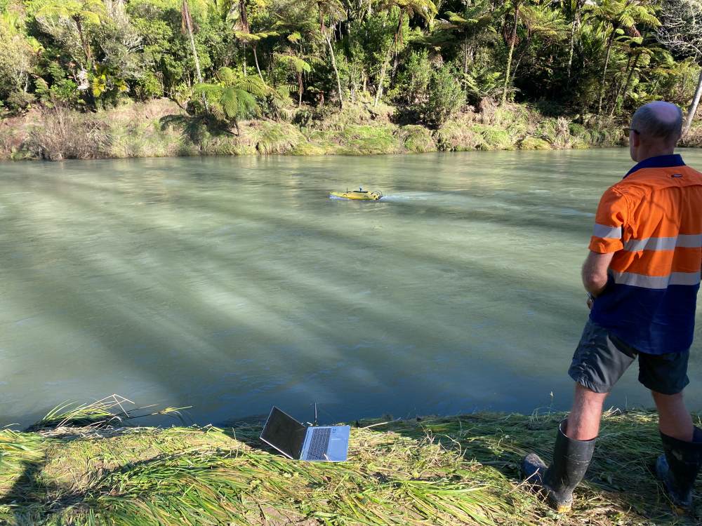
The Bay of Plenty region encompasses diverse landscapes, from unspoiled coastlines and geothermal areas to native bush and productive farmland. As steward of this environment, BOPRC operates more than 9,000 monitoring sites, collecting data across multiple ecosystems to support informed decision-making and long-term environmental protection.
According to Angela Perks, Team Leader for Environmental Data and Information at BOPRC, the council’s responsibilities have grown significantly in recent years. “Our mandate continues to expand to include broader environmental, social and cultural interests of our community, which has required us to enhance the capability of our data management systems,” she says.
From water monitoring to integrated environmental oversight
BOPRC adopted the Aquarius data management platform in 2014, initially using it to manage hydrological information such as rainfall, groundwater levels, river stages and flow measurements. The success of this early deployment led to a steady expansion of the system’s role.
“What began as a hydrology-focused deployment evolved into our central environmental data hub,” says Perks. “We now integrate discrete water quality data from our laboratory systems, air quality monitoring from Mount Maunganui, coastal ecology datasets, water allocation information, geothermal data and more.”
Bringing these datasets together has enabled the council to identify relationships that were previously difficult to detect. In 2018, elevated particulate matter (PM10) readings in the Mount Maunganui airshed could be analysed alongside industrial activity and meteorological conditions, supporting regulatory action and improved environmental outcomes.
Improving data quality and consistency
The implementation of National Environmental Monitoring Standards (NEMS) quality assurance protocols within Aquarius has helped BOPRC align its environmental data with national benchmarks for accuracy and reliability.
“Adopting NEMS standards has been a significant achievement,” Perks notes. “They provide confidence that our data meets rigorous requirements for validation and consistency, which is essential for regulatory decisions and public reporting.”
Metadata tools within the system link field measurements, photographs, comments and method information directly to datasets, while maintaining full audit trails of edits and corrections. This approach supports transparency and defensibility in environmental reporting.
Advancing field data collection and qualitative insights
In December 2020, BOPRC introduced digital field data capture using Survey123, enabling data to be uploaded immediately from the field. This has reduced transcription errors and allows staff to attach images and contextual information directly to field visits.
For geothermal monitoring, the council has developed methods to convert qualitative observations into numerical data, enabling trend analysis alongside traditional measurements. Observations such as odour or water colour, which may indicate changes in geothermal activity, can now be analysed as time series data.
“We’ve found ways to represent qualitative information using qualifiers and legends,” says Perks. “Data that was once hidden in spreadsheets is now visible and usable for long-term analysis.”
Incorporating Mātauranga Māori perspectives
BOPRC is also exploring how Mātauranga Māori, traditional Māori knowledge, can be incorporated into environmental data management. This holistic, place-based knowledge system complements scientific monitoring by providing cultural and historical context.
By recognising principles such as kaitiakitanga (guardianship) and whanaungatanga (relationships), the council aims to ensure environmental data reflects both quantitative measurements and culturally informed understanding.
“Indigenous knowledge systems can highlight changes that conventional monitoring may miss,” says Perks. “Creating space for Mātauranga Māori strengthens our approach to environmental stewardship.”
Expanding access and preparing for future challenges
Through its public web portal, BOPRC provides validated environmental data to consultants, researchers, farmers and community members. Custom reports support sector-specific needs, such as soil moisture insights for agricultural water management.
As climate variability drives changes in rainfall and river behaviour, centralised access to high-quality environmental data has become increasingly important. Tools such as rating review and audit tracking enable the council to respond more effectively to emerging challenges.
“What began as a solution for hydrology data has become the backbone of our environmental monitoring programme,” concludes Perks. “By improving data confidence, integration and accessibility, we are better equipped to protect the Bay of Plenty’s natural resources for future generations.”


